Mayon’s Unsteady Dome: Weeks of Warning
In 2018, a new lava dome, lava fountaining, rockfalls, and pyroclastic density currents made Mayon’s changing slopes the story to watch.
Mayon’s 2018 episode was not one sudden blast. Observations accumulated over days: a phreatic explosion, lava at the summit, fountaining, rockfalls, ash, and pyroclastic density currents. The alert level rose as the evidence and hazard assessment changed.
Mayon’s steep drainages shape where lava and pyroclastic density currents can travel. This conceptual profile is not an event footprint map; official PHIVOLCS hazard maps are linked below.
See the event on the ground
Historical records show where effects were observed and what changed. These visuals are for context, not current hazard guidance.
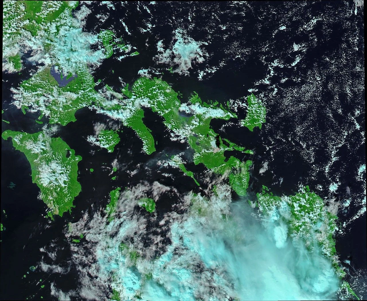
NASA Aqua acquired this natural-color and thermal-infrared composite on January 22, 2018, as Mayon was producing ash and unrest. It is a satellite observation, not a mapped lava or evacuation boundary.
NASA Earth Observatory image by Joshua Stevens, using MODIS data from LANCE / EOSDIS Rapid Response ↗How the episode unfolded
An explosion marks a change
A phreatic explosion and ash plume were followed by intensifying unrest. PHIVOLCS raised alert levels as activity evolved.
Lava appears at the summit
A growing lava dome and lava flows generated rockfalls. Collapses produced pyroclastic density currents down drainages.
Alert Level 4
PHIVOLCS raised the alert to Level 4 as hazardous eruption became imminent. Authorities expanded precautionary evacuations.
Activity gradually declines
Lava effusion, rockfalls, and occasional pyroclastic density currents continued as monitoring documented a changing episode. Alert levels later stepped down.
A dome can keep producing hazards
Lava dome growth may look slow, but the new rock can be unstable. Collapse can send hot mixtures of gas, ash, and volcanic debris down steep channels. PHIVOLCS calls these pyroclastic density currents; in the Philippines they are also known as uson.
This explains why hazard zones are mapped by drainage and slope, not simply by how close someone is to the summit. An observer should always use PHIVOLCS guidance and current local instructions.
Alerts describe assessment—not certainty
An alert level communicates the observatory’s assessment at a particular time. The 2018 chronology shows updates as multiple signs changed; a label should always be read with the bulletin details and its issue time.
This retrospective does not imply the same warning timeline will apply in a future eruption. Current official PHIVOLCS bulletins and evacuation orders take precedence.
Read the source records
Key claims and dates are linked to their original publishers. Impact totals can vary by reporting date and method.